Above and Beyond: How Drones Are Revolutionizing Mapping and 3D Modeling
Unlocking New Perspectives with Drone Mapping
In the realm of modern technology, drones have emerged as indispensable tools for various industries, offering unparalleled capabilities in data collection and analysis. One area where drones are making a significant impact is in mapping and 3D modeling. In this article, we’ll explore how drone mapping services provided by Skylink Drone Services are revolutionizing 3D modeling, providing businesses with enhanced insights and actionable data.
The Power of Aerial Perspective
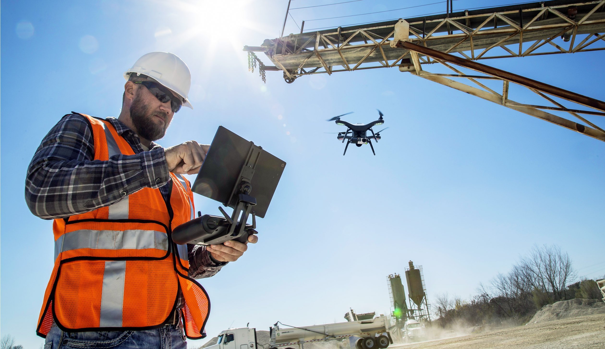
Traditional mapping and modeling methods often rely on ground-based surveys, which can be time-consuming, expensive, and limited in scope. However, with drone technology, businesses can now access a bird’s-eye view of their surroundings, capturing high-resolution imagery and data from above. This aerial perspective enables more comprehensive mapping and modeling, allowing for greater accuracy and detail than ever before.
Precision Mapping for Diverse Applications
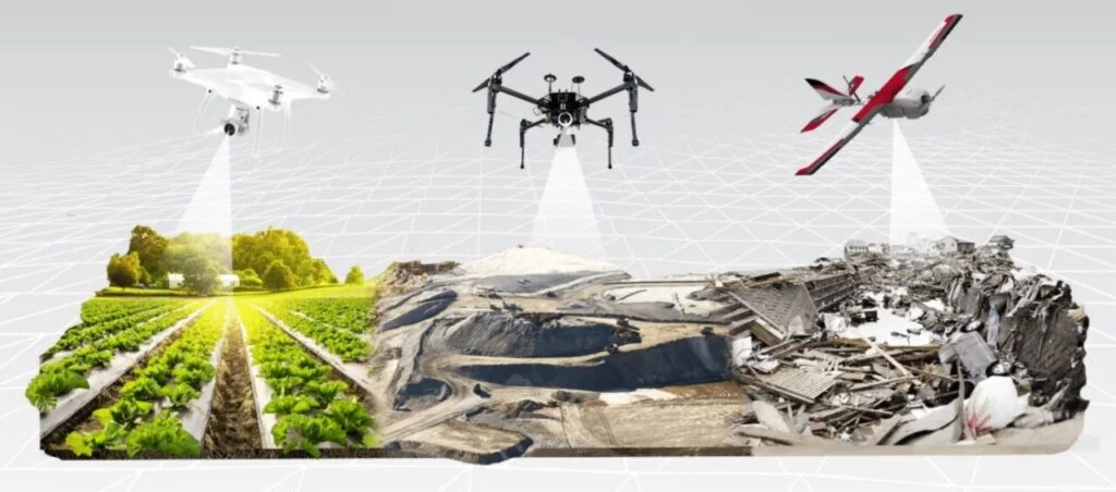
From construction and infrastructure development to environmental monitoring and urban planning, the applications of drone mapping and 3D modeling are vast and diverse. Skylink Drone Services leverages state-of-the-art drones equipped with advanced sensors and imaging technology to capture precise data for various projects. Whether it’s creating topographic maps, generating digital elevation models, or conducting site surveys, our drone mapping services deliver actionable insights tailored to our clients’ specific needs.
Enhanced Visualization with 3D Modeling
One of the key benefits of drone mapping is its ability to generate highly detailed 3D models of terrain, structures, and objects. These 3D models provide stakeholders with a more immersive and intuitive way to visualize spatial data, enabling better decision-making and planning. Whether it’s assessing the feasibility of a construction project, simulating urban development scenarios, or analyzing environmental changes over time, our 3D modeling services empower businesses to gain deeper insights into their surroundings.
Streamlined Workflow and Cost Savings
In addition to providing superior data quality and insights, drone mapping and 3D modeling offer significant advantages in terms of efficiency and cost-effectiveness. Compared to traditional surveying methods, drone-based surveys can be completed in a fraction of the time, reducing project timelines and labor costs. Furthermore, the ability to collect data remotely from the air eliminates the need for costly equipment and resources, making drone mapping an attractive option for businesses of all sizes.
Embracing the Future of Mapping and Modeling
As technology continues to evolve, the role of drones in mapping and 3D modeling will only continue to grow. At Skylink Drone Services, we’re committed to staying at the forefront of this technological revolution, providing our clients with innovative solutions that drive efficiency, accuracy, and value. Whether you’re a construction company looking to streamline project planning or an environmental agency in need of detailed terrain analysis, our drone mapping services have you covered. Contact us today to learn more about how we can help you unlock the full potential of aerial mapping and modeling.
Mapping & 3D Modeling Services

Articles published are meant for educational purposes only. Any information expressed here shall not constitute any consultation or endorsement.
Get the latest News, Events and Discounts available from Skylink Drone Services


Above and Beyond: How Drones Are Revolutionizing Mapping and 3D Modeling

Revolutionizing Roof Inspections: The Rise of Drones in Property Maintenance


